
Project Technical Sheet
Project 2
Île Deschênes–Perrin
Very high-grade gold at the foot of the Chibougamau-Chapais airport (Airport Gold project): four gold sectors with native gold, historical trenches and drilling, and a gold–copper boulder found in 2024.
- Commodities
- Gold, Copper
- Region
- Chapais–Chibougamau, Québec
- Status
- To be provided
- Project no.
- 2 (sub-projects 2a to 2d)
- Claims
- 121 · 6,395 ha (100% MRB)
- Access
- Next to the Chibougamau-Chapais airport · Route 113, railway and power line
- Sub-projects
- 4
Project summary
The Île Deschênes–Perrin project (Airport Gold) comprises 121 claims covering 6,395 ha, held 100% by MRB, between Chapais and Chibougamau along Route 113. The airport, Route 113, a railway and a power line are on site.
Gold occurs in quartz veins and quartz masses in four sectors. At Lac Ledden (2d, Perrin showing), drill hole LED-22-09 (Mistango River Resources, 2022) intersected native gold. At Île Deschênes (2a), historical trenches and drill holes tested the veins down to about 130 m vertical depth. Pit VG (2c) was the site of historical bulk sampling, and prospecting in 2024 found a gold–copper quartz boulder at Sapin (2b).
Location
The claim blocks lie between latitudes 49.74° and 49.85° N and longitudes 74.47° and 74.67° W.
4 sub-projects
| Block | Sub-project | Exploration focus |
|---|---|---|
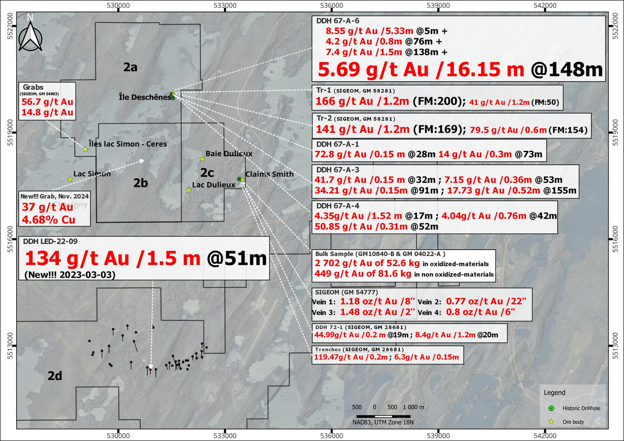
| 2a | Île Deschênes | Historical drill holes (to ≈ 130 m vertical depth) and trenches on gold-bearing quartz veins. |
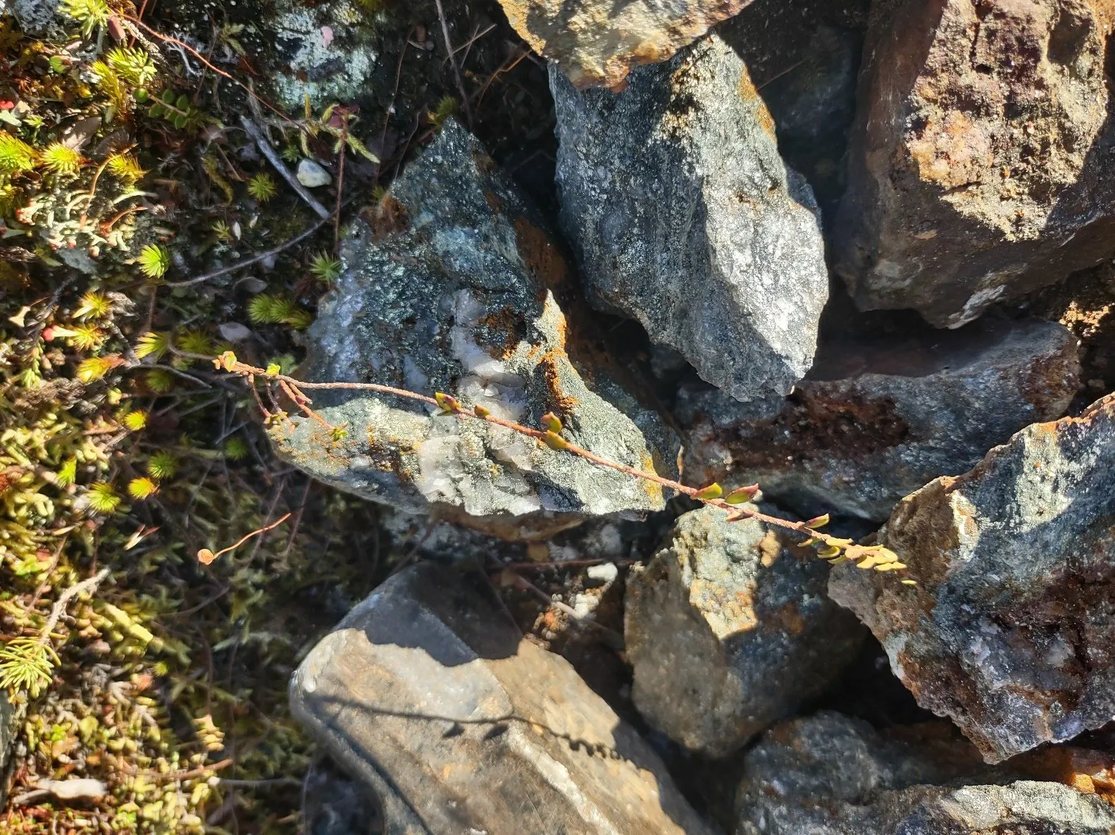
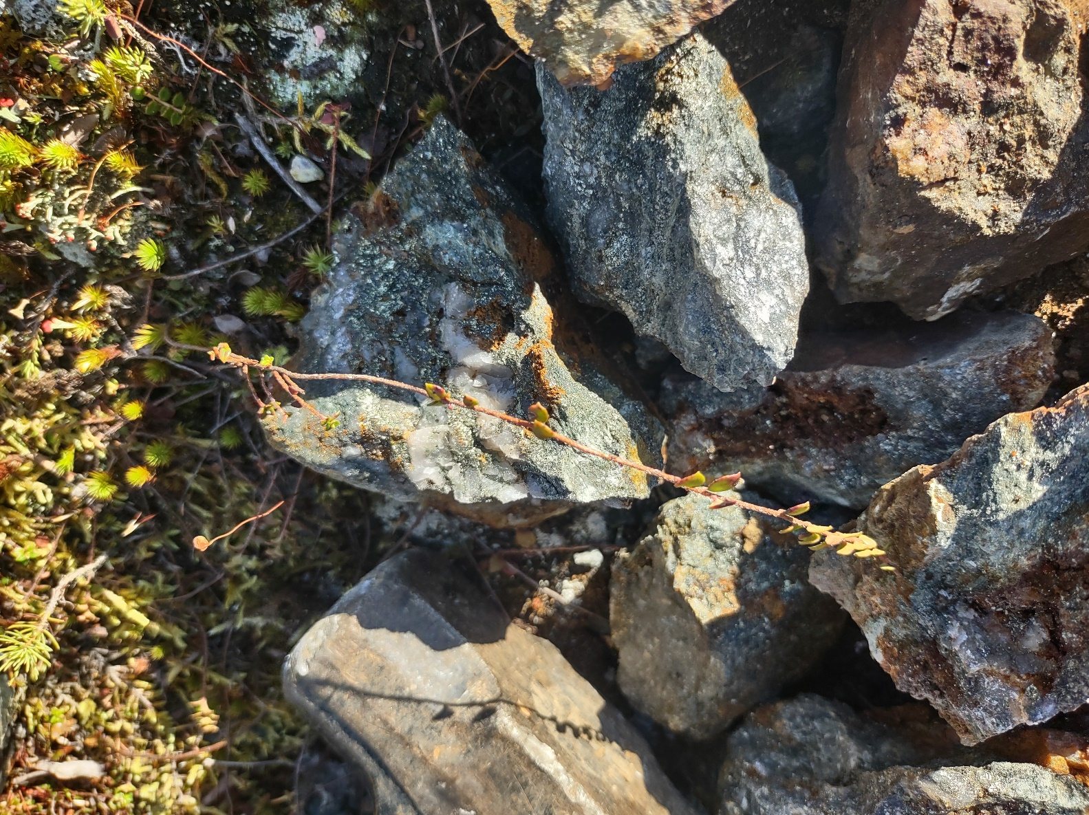
| 2b | Sapin | Gold–copper quartz boulder discovered by prospecting in 2024; induced polarization survey area. |
| 2c | Pit VG | Historical pit, vein sampling and bulk samples on quartz veins. |
| 2d | Lac Ledden – Perrin | Perrin showing: drill hole LED-22-09 (Mistango River Resources, 2022) with native gold, near the border fault of the pluton. |
Recent exploration results
| Result | Sample / location | Block | Reference | Date |
|---|---|---|---|---|
| 37 g/t Au and 4.68% Cu | Grab sample from a quartz boulder found by prospecting, Sapin showing | 2b | – | November 2024 |
Historical exploration results
Results from earlier exploration work, as reported in the sources cited (GM numbers refer to assessment reports in Québec's SIGÉOM database).
| Result | Sample / location | Block | Reference | Date |
|---|---|---|---|---|
| 5.69 g/t Au over 16.15 m | Drill hole 67-A-06, from 148.7 m | 2a | – | – |
| 8.55 g/t Au over 5.33 m | Drill hole 67-A-06, from 5.3 m | 2a | – | – |
| 166 g/t Au over 1.2 m | Trench Tr-1, at surface | 2a | GM 58281 | – |
| 141 g/t Au over 1.2 m | Trench Tr-2, at surface | 2a | GM 58281 | – |
| 72.8 g/t Au over 0.15 m | Drill hole 67-A-01, at 28.7 m | 2a | – | – |
| 50.85 g/t Au over 0.3 m | Drill hole 67-A-04, at 52.1 m | 2a | – | – |
| 41.68 g/t Au over 0.3 m | Drill hole 67-A-03, at 32.8 m | 2a | – | – |
| 2,702 g/t Au | Historical bulk sample of 52.6 kg of oxidized material, at surface | 2c | GM 10840-B, GM 04022-A | – |
| 449 g/t Au | Historical bulk sample of 81.6 kg of non-oxidized material | 2c | GM 10840-B, GM 04022-A | – |
| 119.47 g/t Au over 0.2 m | Trench, Pit VG sector | 2c | GM 86811 | – |
| 6.3 g/t Au over 0.15 m | Trench, Pit VG sector | 2c | GM 86811 | – |
| 134 g/t Au over 1.5 m | Drill hole LED-22-09 (Mistango River Resources), from 51 m, native gold | 2d | GM 73225 | 2022 |
| 1.45% Cu over 1.0 m | Drill hole LED-22-13 (Mistango River Resources), at 293 m | 2d | MRB project sheets 2026 (Punch Xplor V10) | 2022 |
| 0.80% Cu and 0.48 g/t Au over 1.5 m | Drill hole LED-22-15 (Mistango River Resources), at 108 m | 2d | MRB project sheets 2026 (Punch Xplor V10) | 2022 |
Some exploration results presented here are historical in nature and have not been verified according to current NI 43-101 standards. Grab samples are selective by nature and are not necessarily representative of the mineralization on the property.
Targets for the next phase
Exploration targets are conceptual in nature and subject to further exploration work. They are not mineral resources.
- Target 01 · Block 2d – Follow-up of LED-22-09
Follow up hole LED-22-09 and the border fault of the pluton at Lac Ledden. - Target 02 – Île Deschênes and Pit VG below 130 m
Historical drilling stops at about 130 m vertical depth: test the gold-bearing veins of Île Deschênes and Pit VG below it. - Target 03 · Block 2b – Source of the Sapin boulders
Find the source of the gold–copper boulders along the induced polarization (IP) axes.
Maps and photographs
Technical references
Sources cited on this sheet. GM numbers refer to assessment reports in Québec's SIGÉOM database.
- GM 58281
- GM 10840-B, GM 04022-A
- GM 86811
- GM 73225
- MRB project sheets 2026 (Punch Xplor V10)
- MRB project sheets, Chibougamau congress (v3), November 2026
- MRB corporate presentation, 2026
- MRB ArcGIS map, layer “Contours MRB”