
Project Technical Sheet
Project 8
Ditton
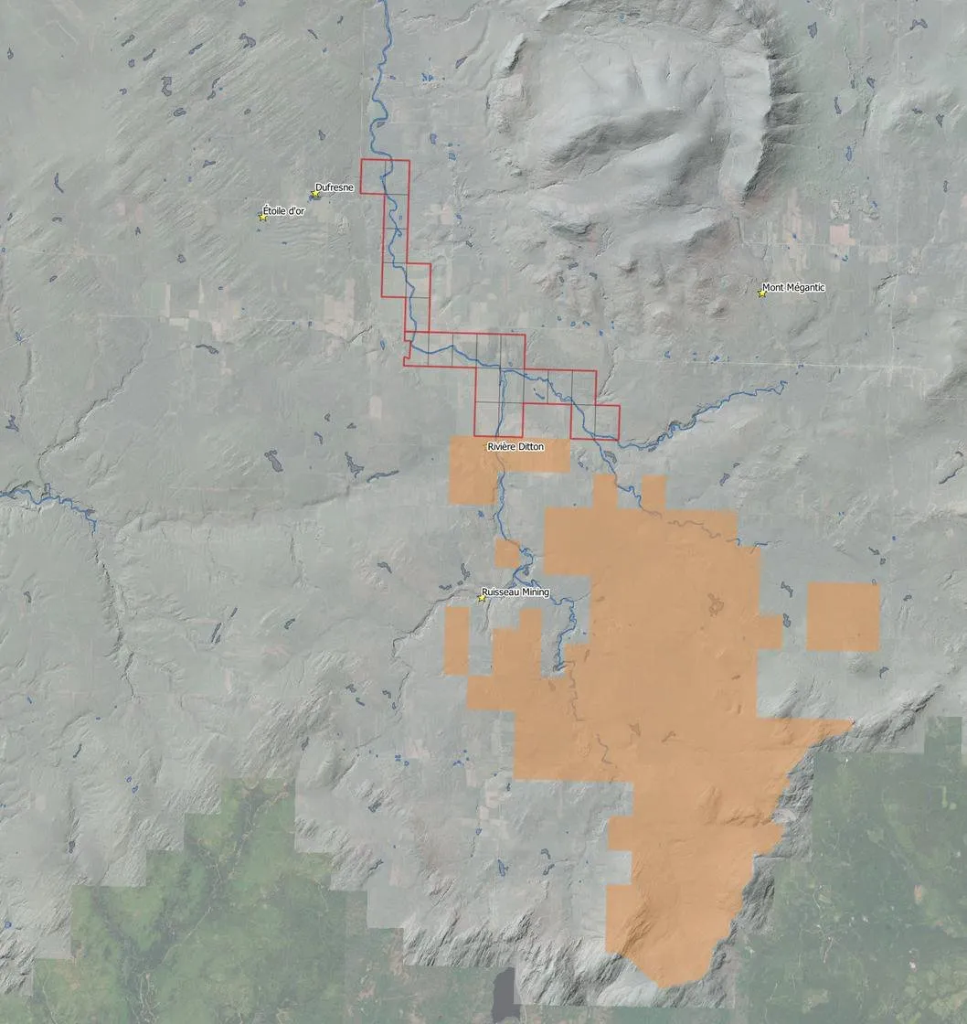
Placer gold project of 21 claims along the Ditton River, north of Beauce Gold Fields' Ditton placer gold project.
- Commodities
- Gold
- Region
- Ditton River area, southern Québec
- Status
- To be provided
- Project no.
- 8
- Claims
- 21
- Deposit type
- Placer gold
Project summary
Ditton is a placer gold project of 21 claims along the Ditton River, in southern Québec near Mont Mégantic. The claims lie north of the Ditton project of Beauce Gold Fields (Champs d'Or en Beauce).
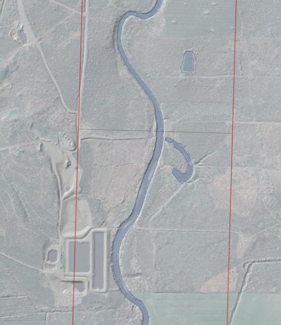
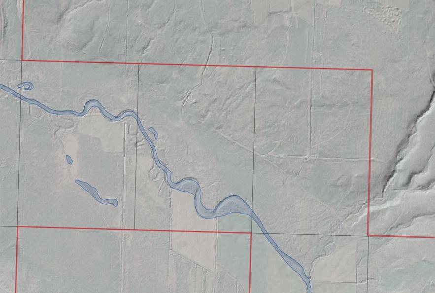
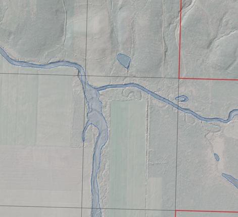
MRB's targets are old river channels and the confluence of two tributaries, identified on shaded-relief imagery along the river: settings where placer gold can accumulate.
Location
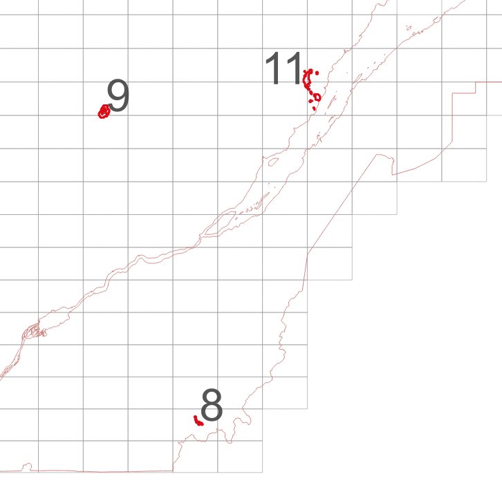
The claim blocks lie between latitudes 45.37° and 45.44° N and longitudes 71.17° and 71.26° W.
Targets for the next phase
Exploration targets are conceptual in nature and subject to further exploration work. They are not mineral resources.
- Target 01 – Old river channels
Old channels and abandoned meanders of the Ditton River on the MRB claims, identified on shaded-relief imagery. - Target 02 – Confluence of two tributaries
The confluence of two tributaries on the claims, a setting where placer gold can accumulate.
Regional geological context
Information on neighbouring properties, reported by other companies. These are not MRB results, and mineralization on neighbouring properties is not necessarily indicative of mineralization on Ditton.
- Ditton project (Beauce Gold Fields). On its Ditton project, south of the MRB claims, Beauce Gold Fields reports grades of up to 2 g/m³ Au recovered from dredged sand pits, and presents the project as a potential placer gold producer. (Source: Beauce Gold Fields corporate presentation)
Maps and photographs
Technical references
Sources cited on this sheet. GM numbers refer to assessment reports in Québec's SIGÉOM database.
- Beauce Gold Fields corporate presentation
- MRB corporate presentation (projects 7 to 10), 2026
- MRB ArcGIS map, layer “Contours MRB”